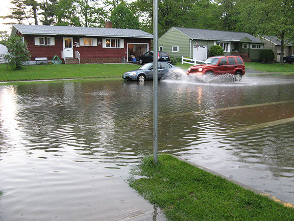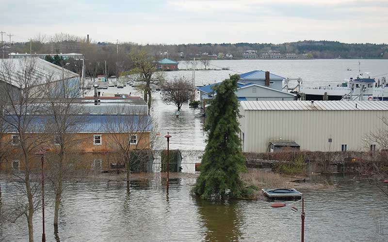
Vermonters have witnessed devastating flooding over the last 10 years – including the 2011 spring floods that inundated homes and businesses. New recommendations for how to prevent such devastating floods are a good start, but they don't go far enough. Photo: Julie Silverman
Life in Vermont used to be more predictable. April showers would bring May flowers, as the saying goes, accompanied by high water and the rare, localized flood. Summers were warm, with an occasional hot spell reaching into the 80s and low 90s. A raucous thunderstorm often followed those hot days, cooling things off again.
Then came 2011.
That’s when I lived through two record-setting floods just months apart. In the first, extreme spring rains melted a very deep snowpack, triggering a six-week flood on Lake Champlain. Tropical Storm Irene set off the second, pushing rivers over their banks in the blink of an eye.
Vermonters learned a lot of lessons from those devasting floods. In the 10 years since then, we’ve strengthened our infrastructure – both humanmade and natural – and our emergency response systems. But we still have more to do to get ready for the increasingly extreme weather climate change is bringing.
The Power of Water
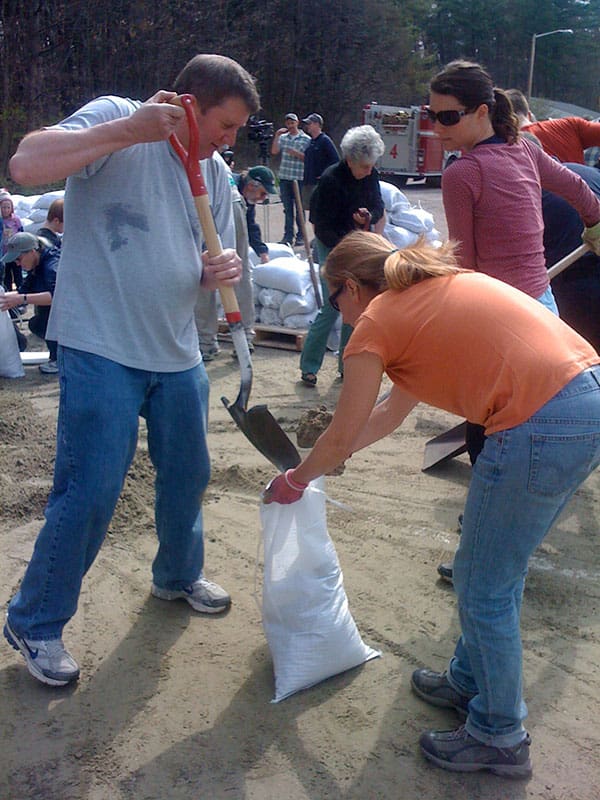
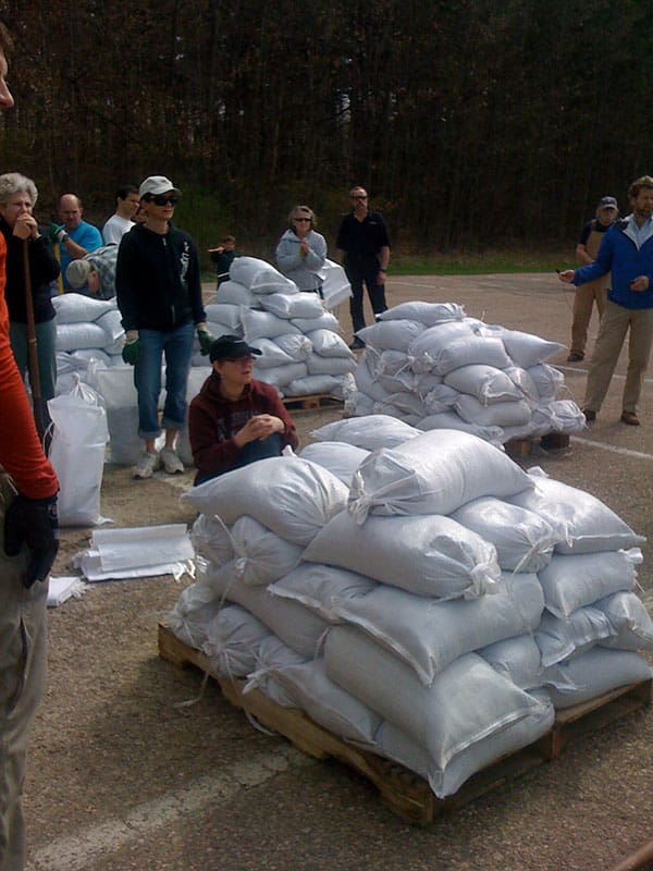
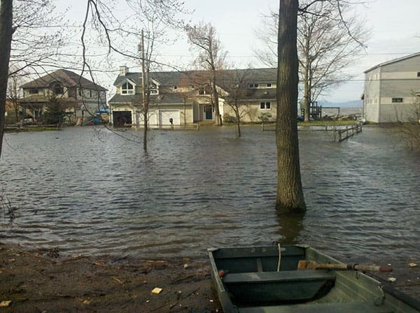
That spring of 2011, I felt like we were watching a car crash in slow motion. Each day we gaped as Lake Champlain slowly swallowed neighbors’ houses. My friends and I filled sandbags to help neighbors fortify their homes, but the water kept rising, leaving people no option but to be rescued by boat.
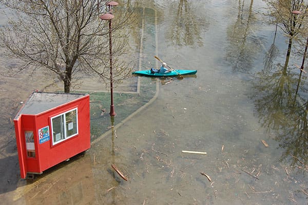
Water soon covered the Burlington Breakwater and inundated wastewater treatment facilities. Waterfront businesses were shut down and evacuated. I saw carp swimming in the lot where I had parked my car just a week before. Kayakers paddled over waterfront streets and parks. And tour boats floated so high they almost drifted over retaining walls into buildings.
Lake Champlain collected everything that washed downriver: people’s homes that had fallen into frothing rivers; wrapped hay bales that floated atop churning waters like marshmallows in hot chocolate; driftwood that became battering rams eroding streambanks and destroying houses.
In late May, with the waters still high, a severe thunderstorm rolled into Vermont, causing flash floods and hailstorms throughout the state. The Winooski River in Montpelier jumped its banks, climbing from 5 to nearly 18 feet in depth in less than 12 hours. All of that water flowed to Lake Champlain, too.
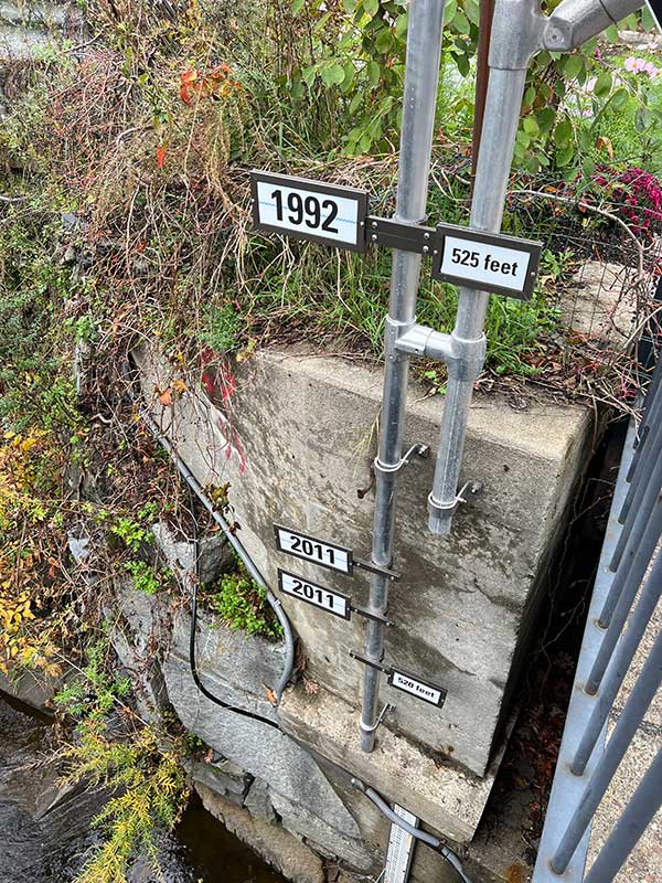
Lake Champlain grew and swelled for 10 days that spring, topping out at a record of 103.27 feet in Burlington (flood stage is classified as over 100 feet). It stayed at or above flood stage for 66 days straight before the waters finally receded.
That spring flood caused enough destruction on its own. But just when we were starting to get our lives back in order, Tropical Storm Irene hit Vermont in late August. This was devastating. We couldn’t believe it was happening again. Irene’s ravages reached deep into Vermont, and this one-two punch caused billions of dollars in damage to homes, businesses, farms, and communities throughout the region.
We Must Learn to Live with Extreme Floods
Vermont has made a lot of progress since Tropical Storm Irene. We’ve strengthened our stormwater and wastewater systems, planted trees to stop river erosion, and restored wetlands, which act as natural sponges. But that’s not enough.
As recently as the summer of 2021, we experienced extreme storms and flooding. Week after week, rivers rose quickly as heavy rainstorms passed through the Green Mountains at least a dozen times in June and July. When Tropical Storm Henri drove through the state that August, it raised the specter of the devastation wreaked by Irene a decade earlier. And, though Henri had far less impact than we feared, it still served as a harsh reminder that climate change will continue to drive heavier rains and flooding.
A Study Commission Offers Some Solutions, But Not Enough
Flooding on Lake Champlain affects not only Vermonters but also folks in New York and Québec. The catastrophic 2011 floods were a call to action. They led the governments of Canada and the United States to ask the International Joint Commission to study the causes, impacts, risks, and solutions to flooding in the Lake Champlain-Richelieu River Basin. The Commission established the International Lake Champlain-Richelieu River Study Board in 2016.
The Study Board released its final report in August, more than a decade after the 2011 floods. State and provincial governments will use these findings to help communities in the Basin better prepare for future floods. However, while the study recommendations are helpful, they rely primarily on structural solutions, such as the selective removal of submerged dams (weirs) that are no longer used and diverting water through the Chambly Canal in the Richelle River.
When the study was under development, CLF and other advocates urged that it include a wider range of biological solutions that would have a significant cumulative effect if implemented Basin-wide. In other words, we shouldn’t shore up only the parts of our waterways where the flooding occurs. We should look at how we can better absorb floodwaters along the entire length of a river or waterway – from a river’s headwaters to its outlet. That will lessen the impacts downstream and provide benefits beyond flood control.
The following are just some of the approaches we called for:
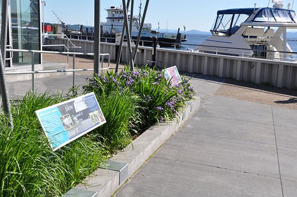
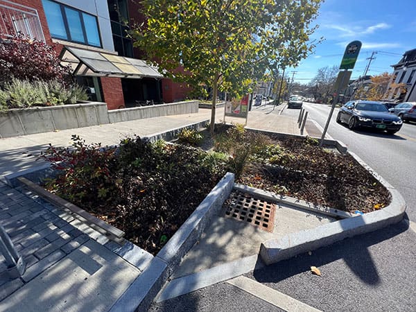
- improved management of polluted runoff through rain gardens and the reduction of watertight surfaces,
- improved soil health and the removal of tile drains on farms,
- restoration and protection of a wide range of wetlands,
- reforestation, protection of old-growth forests (proforestation), and the recovery of floodplain access for the Lake’s tributaries, and
- the removal of derelict dams.
These solutions provide incremental benefits to reducing lake levels during flood events because they give the flood waters a place to go. They also ensure minimum needed flows during periods of drought.
While the Commission did not adopt all of our proposed solutions, they do recommend the protection of existing wetlands and, wherever possible, the restoration and creation of new ones. In addition, the Commission urges all flood prevention work include climate change data so that we plan based on future weather predictions and not only historical trends. They also suggest weather and hydrological agencies continue to collaborate and share data to improve forecasting models and tools, enhance flood risk maps, and implement improved flood risk communications campaigns. Other recommendations include expanding flood insurance and encouraging state and provincial governments to support communities in preventing and preparing for flood impacts.
Vermonters Must Speak Up for Robust Action
During Tropical Storm Irene, neighbors helped neighbors when tragedy struck. Vermonters hiked food and supplies to communities cut off by rivers that had jumped their banks and flooded the roads in and out of town. I volunteered to sell t-shirts to raise money for flood victims at a relief concert by Phish, the Vermont-based band, and their foundation, WaterWheel.
We must all pull together just as strongly to prevent future tragedy.
The Commission’s recommendations are important, but they are just words on paper unless our local, state, and provincial leaders take action. Now, we need people to vote for community leaders who support legislation and policies to implement flood strategies.

